Front Line Decision Support Tool

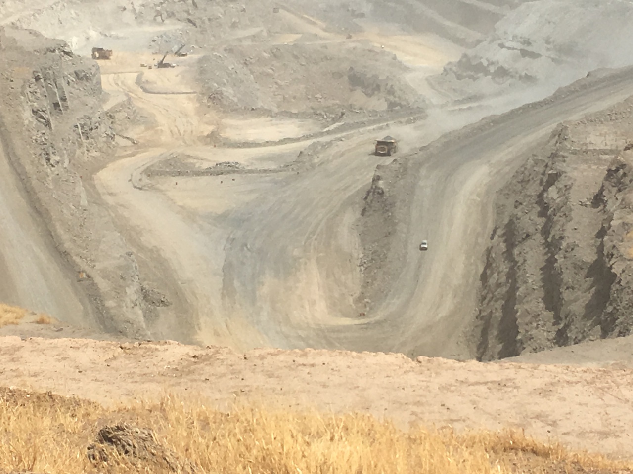
 As a part of your Mission Planning Process, you will define a list of Priority Information Requirements (PIR) and design an information collection plan. With ISR assets readily available intelligence gathering should be conducted to collect the required intelligence on your opponent. To create the Terrain Analysis the S2 branch will have to find answers to the following topics: Observation and Field of Fire, Avenues of Approach, Key and Decisive Terrain, Obstacles, and Cover and Concealment  (OAKOC). 


Your Challenge

As a ground force commander you seek to minimize the risk of exposure to enemy actions by gathering as much information on enemy positions and their movement as possible during your mission planning. Conducting operations without ISR support possesses not just a high-risk factor for your forward ground troops; it can also lead to an expensive and time-consuming task to re-establish the level of situational awareness neccessary to regain and hold the initiative.

The demand for ISR in the modern battlespace often surpasses the centralized controlled handover ISR assets available to support your mission.

Our Solution

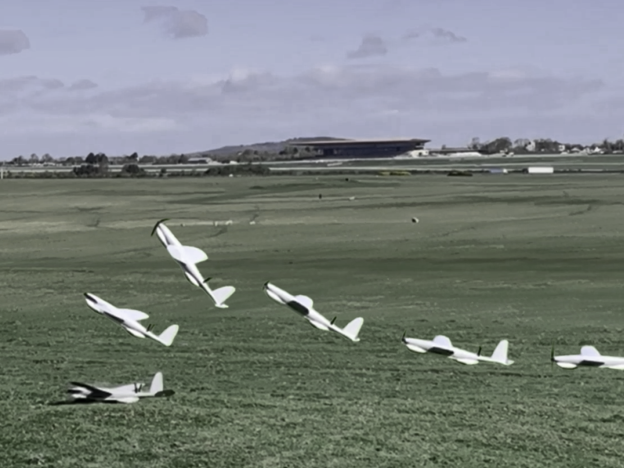
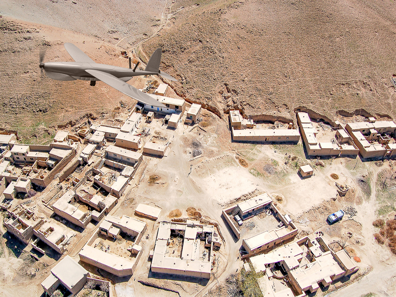
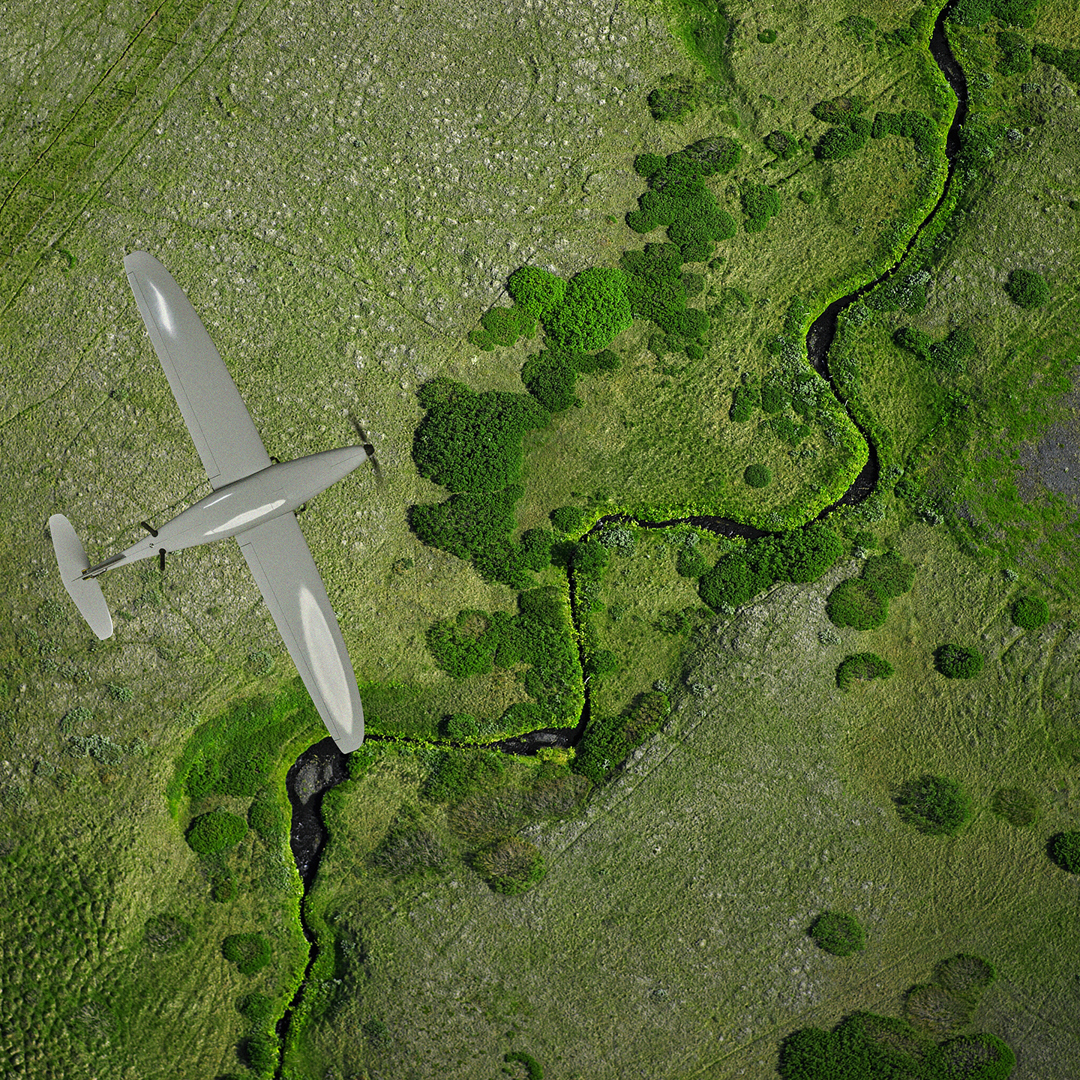
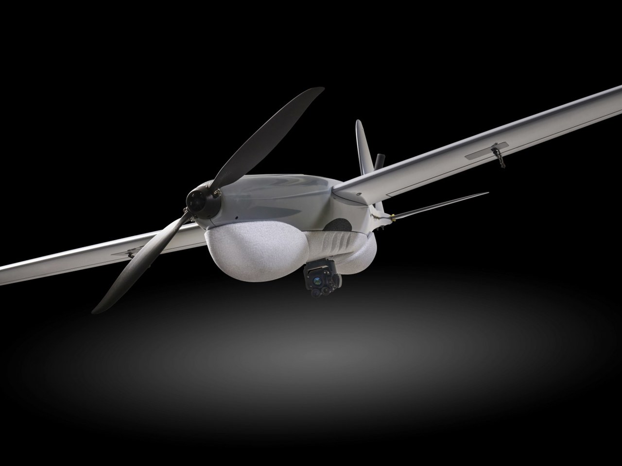
Based on the latest surveying technology and Lessons Learned from Ukraine, our RQ-35 Heidrun is designed to be an organic asset, that operates with high accuracy and high endurance, making it an excellent solution for any tactical ISR mission.

Special Operation Forces will benefit of this "Bring-Your-Own" ISR platform on their missions. Army Recce units will achieve great Situational Awareness with the Platoon/Company "UAS On Demand" option.

The advantages include:

Organic ISR platform = high responsiveness and high reliability
Capable of flying in GNSS denied airspace (RQ-35 Heidrun is highly EW resistant)
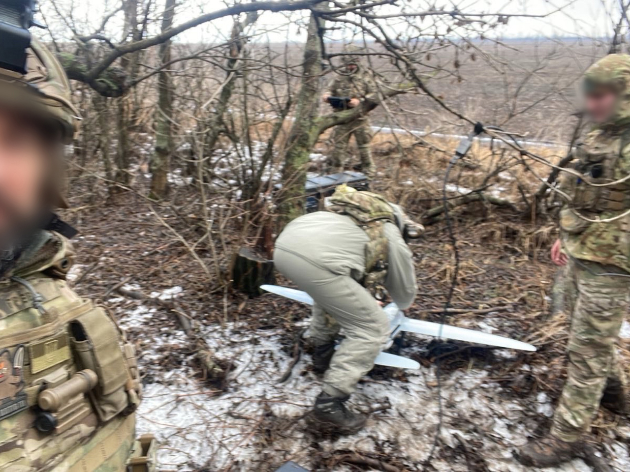
Covert launch and no risk of exposure
User-friendly, one-man operation
Fast and inexpensive terrain reconnaissance.
Highly detailed and accurate intelligence gathering for your Intelligence Preparation of the Battlespace (IPB).

Our Turnkey Solution

Below we describe our answer to the challenges of tactical engagement: carefully chosen UAS components which, combined, offer the best solution from both a tactical and an operational point of view.


RQ-35 Heidrun EO/IR Solution

RQ-35 Heidrun

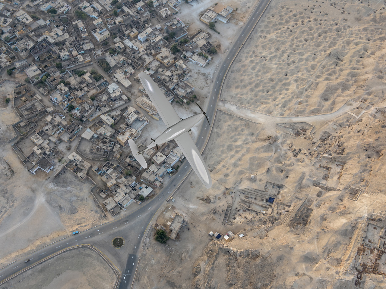
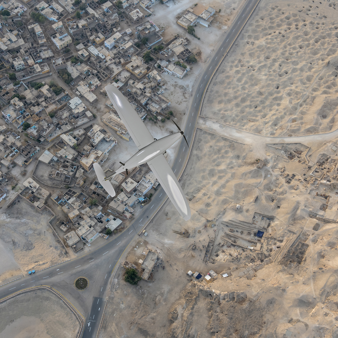
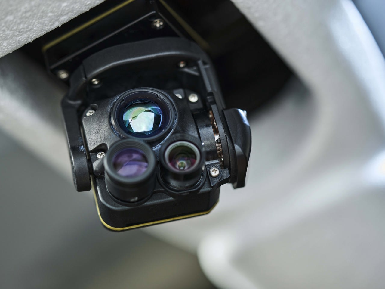
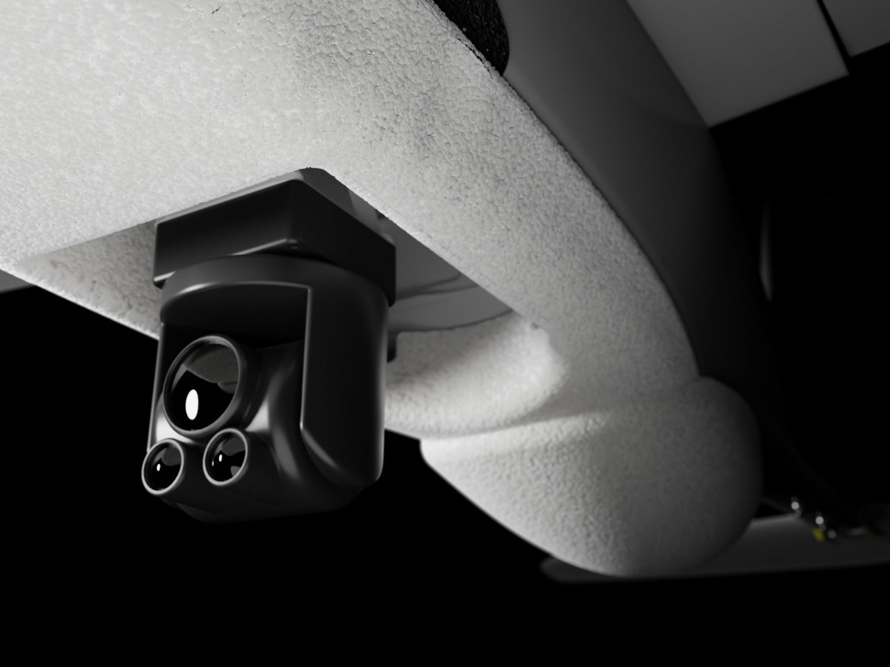
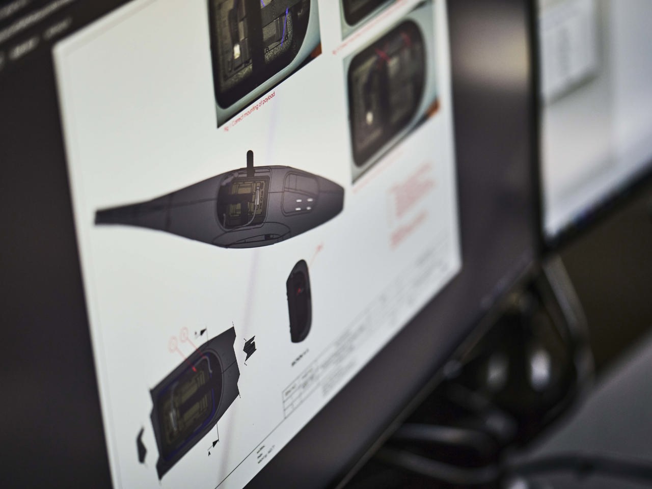
The RQ-35 Heidrun EO/IR is a battle proven, fixed wing mini UAV for ISR (intelligence, surveillance, reconnaissance) missions. It is designed to be an organic ISR asset available for ground forces. It is capable of flying in GNSS denied airspace.

Long Range Patch Antenna

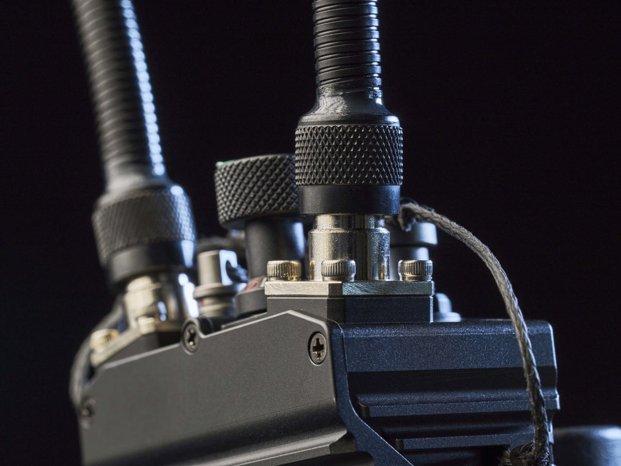
The Long Range Patch Antenna setup tracks the UAV, creating the best possible connection between the Compact Ground Station and the UAV.

Ground Control Station Software

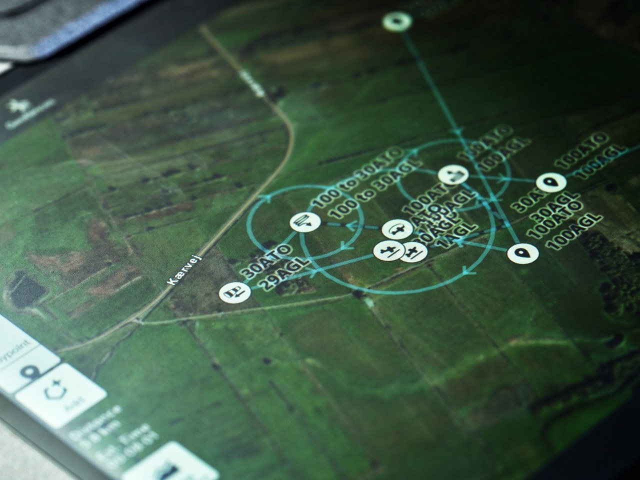
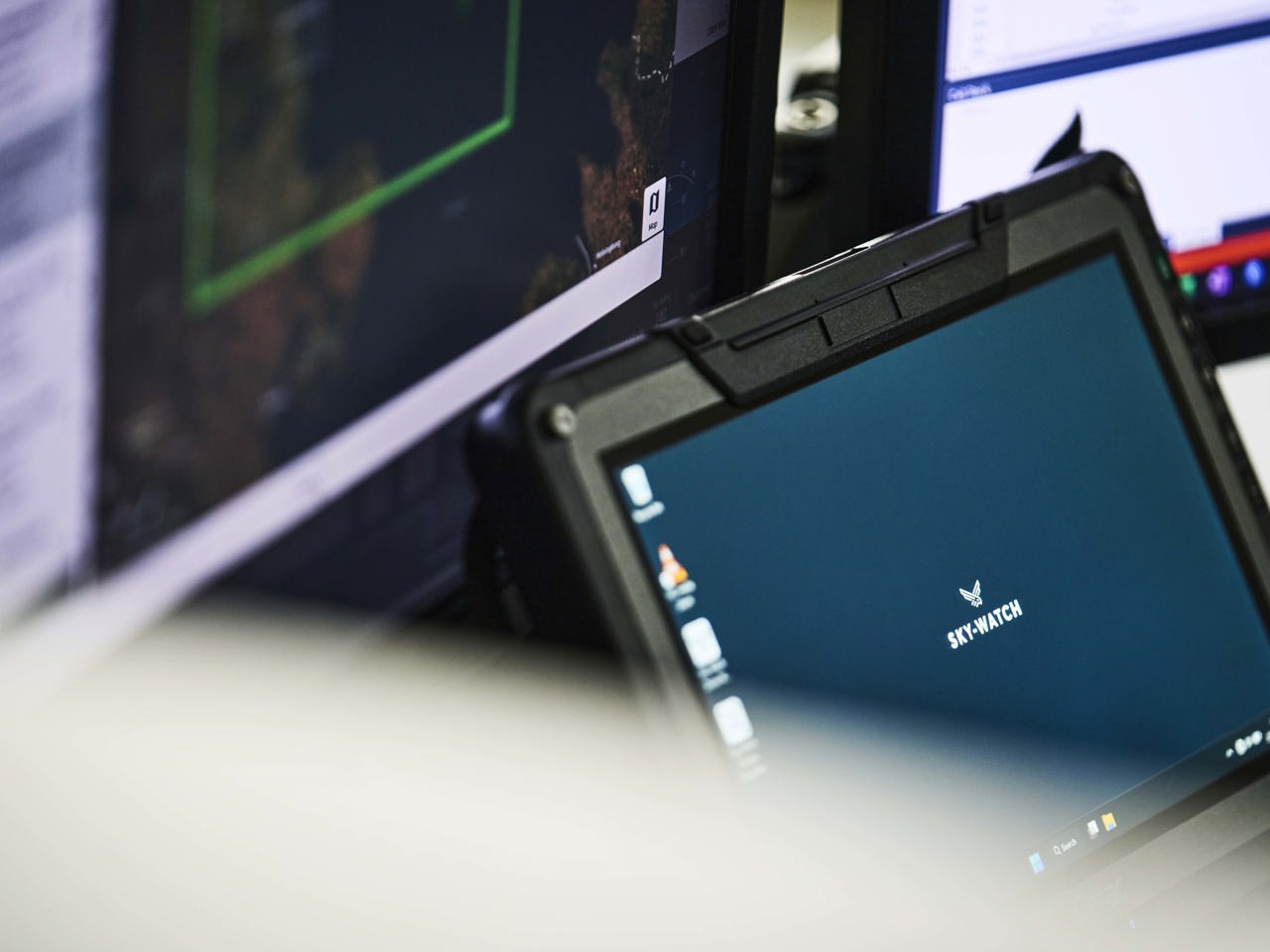
Our intuitive Sky-Watch Drone Manager (SDM) control software fully supports the drone operator flying the UAV platform, ensuring the intelligence gathering you need to accomplish your mission.

Professional Service

As a natural part of our solution, we offer special assistance to ensure the full value of your Sky-Watch solution. Our Field Engineers and Operational Specialists will assist you in the start-up phase and take you through the first missions.

Service & Support

Our solutions are backed up by our skilled product support and service center. We offer full service and support programmes for all our solutions. Our know-how and years of experience enable us to offer an up-to-date and future-proof agreement, depending on our customer’s needs and preferences.


RQ-35 Heidrun Mapping Solution

RQ-35 Heidrun

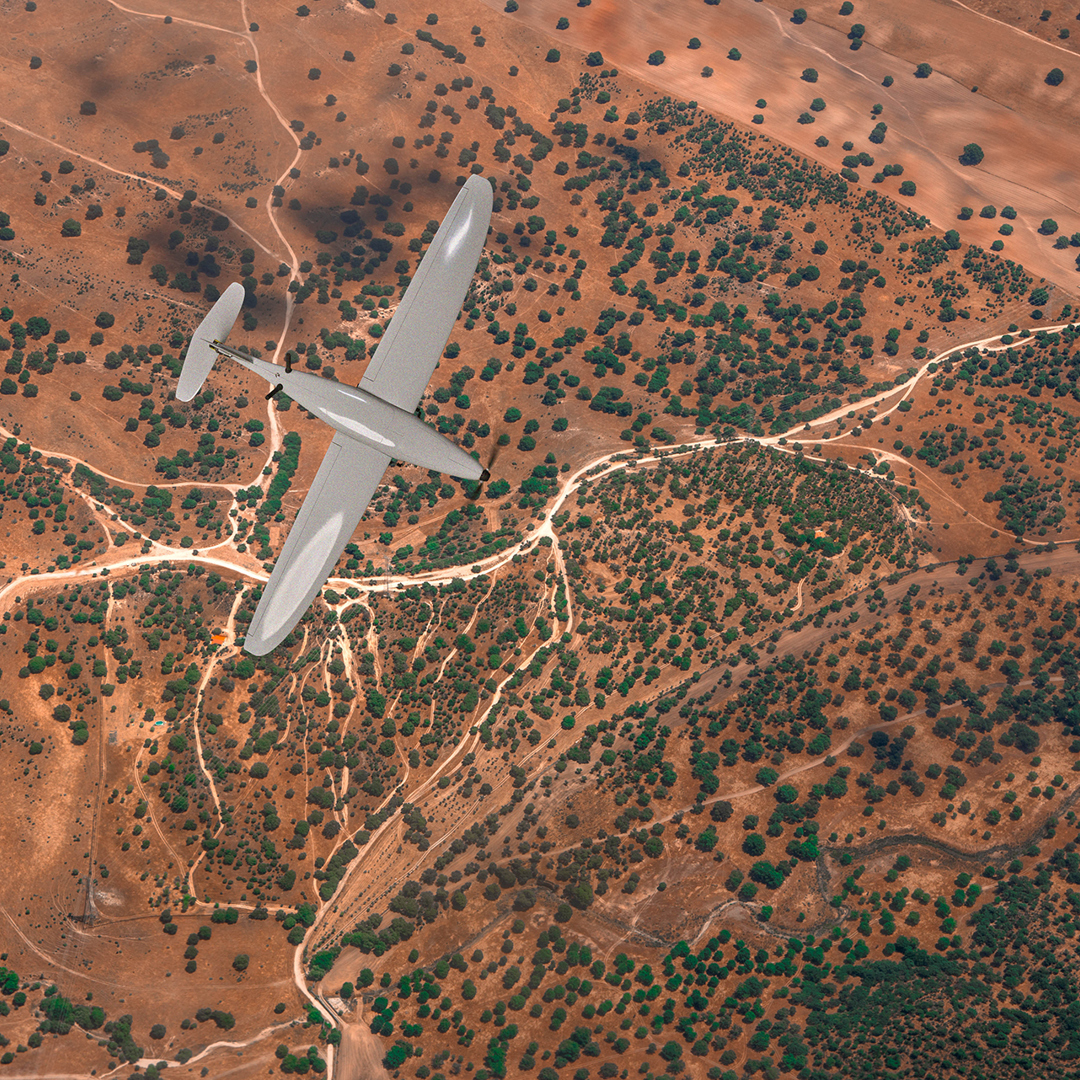
The RQ-35 Heidrun is a fully autonomous, lightweight, tactical mini UAV, specially built for operating in impassable and uncertain terrain. The man-portable UAV is suitable for collecting sensor data for GEO INTEL processing into decision support products such as 2D/3D maps and overlays.

Ground Control Station Software

Our intuitive easy-to-use Sky-Watch Drone Manager (SDM) control software fully supports the drone operator flying the UAV platform, ensuring the intelligence gathering you need to accomplish your ISR mission.

Skyline Stitching Software

After processing the images in the Sky-Watch Drone Manager, you can use the Skyline suite of photogrammetric processing software to generate 2D or 3D data.

Professional Services

As a natural part of our solution, we offer special assistance to ensure the full value of your Sky-Watch solution. Our Field Engineers and Operational Specialists will assist you in the start-up phase and take you through the first missions.

Service & Support

Our solutions are backed up by our skilled product support and service center. We offer full service and support programmes for all our solutions. Our know-how and years of experience enable us to offer an up-to-date and future-proof agreement, depending on our customer’s needs and preferences.

WE WOULD LIKE
TO GET IN TOUCH WITH YOU!

Send us a message using the form and we will reply as soon as possible. Or simply give us a call.

+45 9686 7666