


WHICH CHALLENGES
do WE SOLve
TACTICAL M-UAS SOLUTIONS
FOR DEFENSE MISSIONS
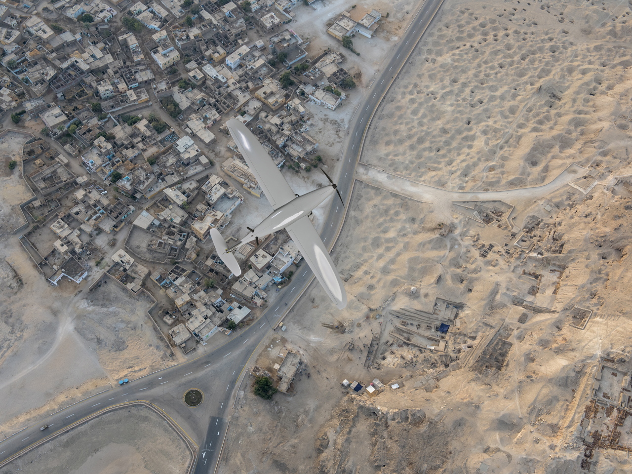
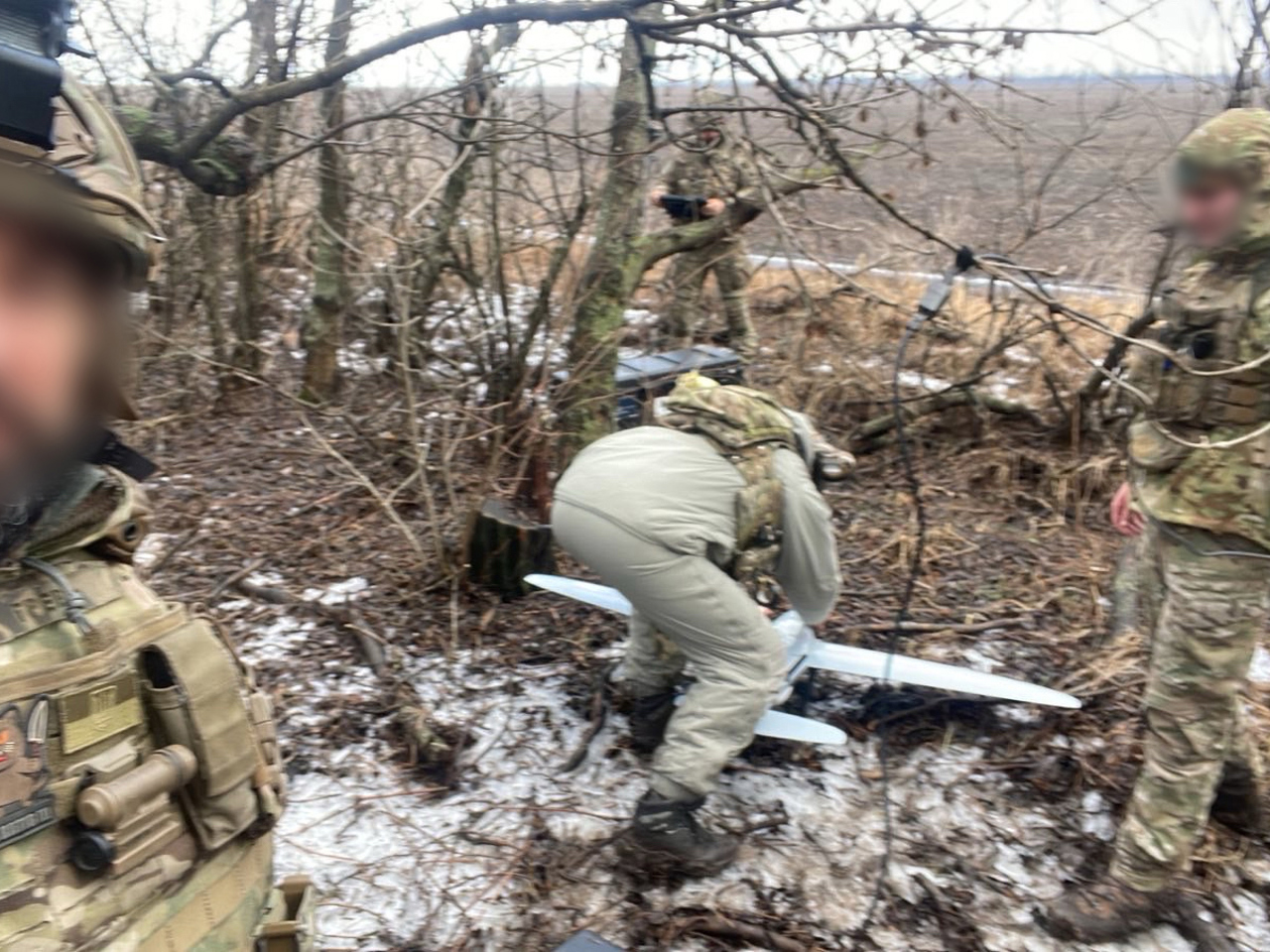
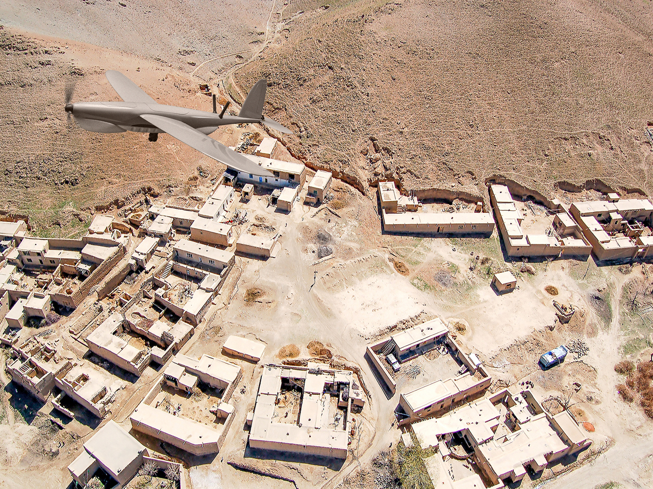
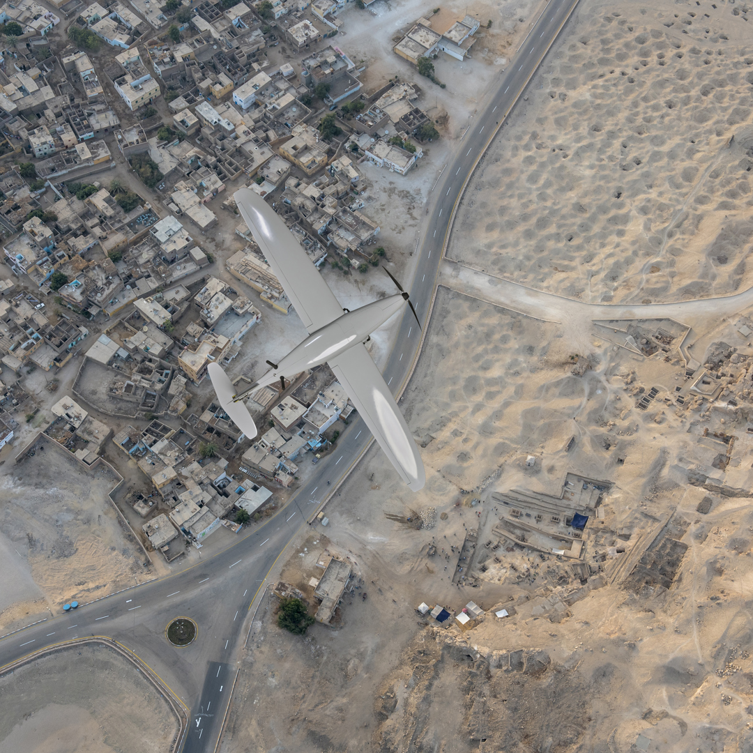
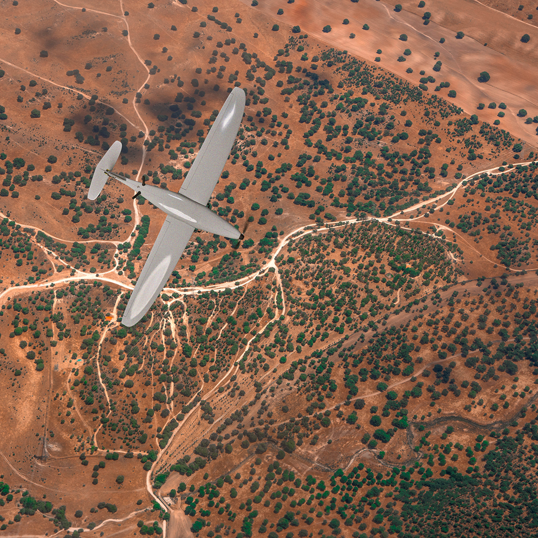
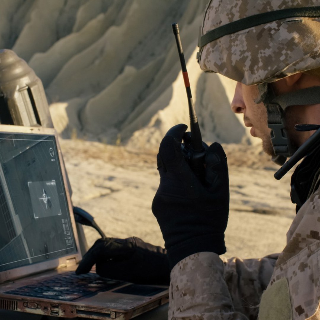
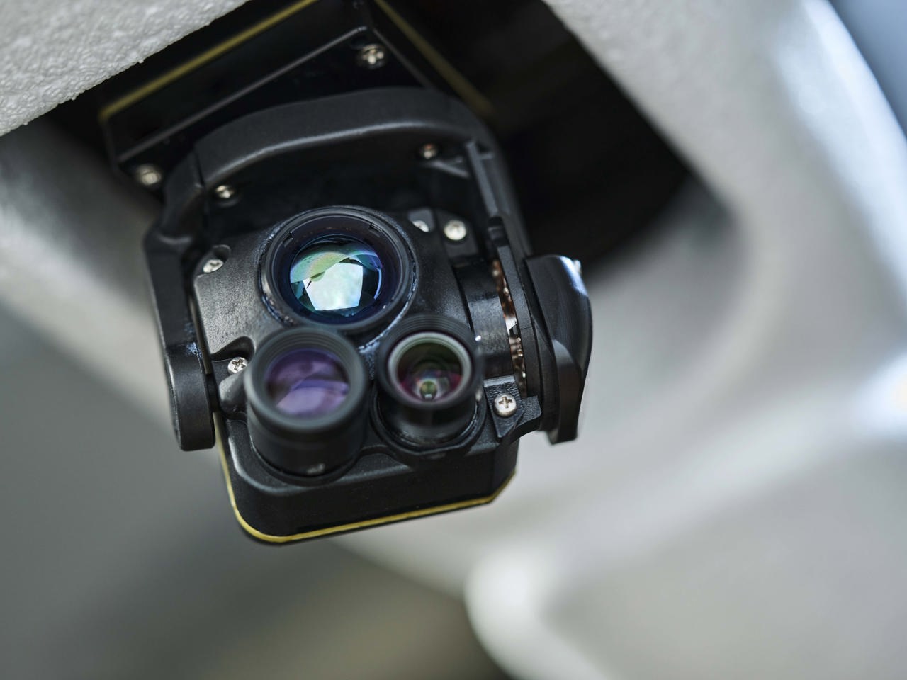
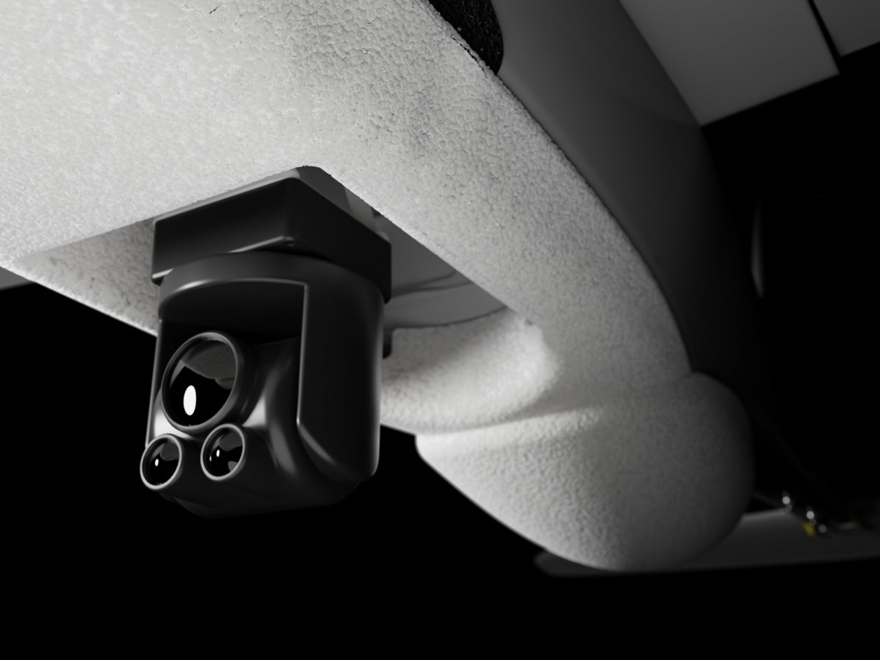
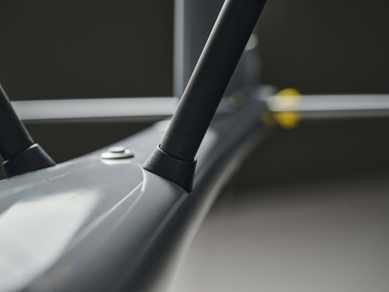
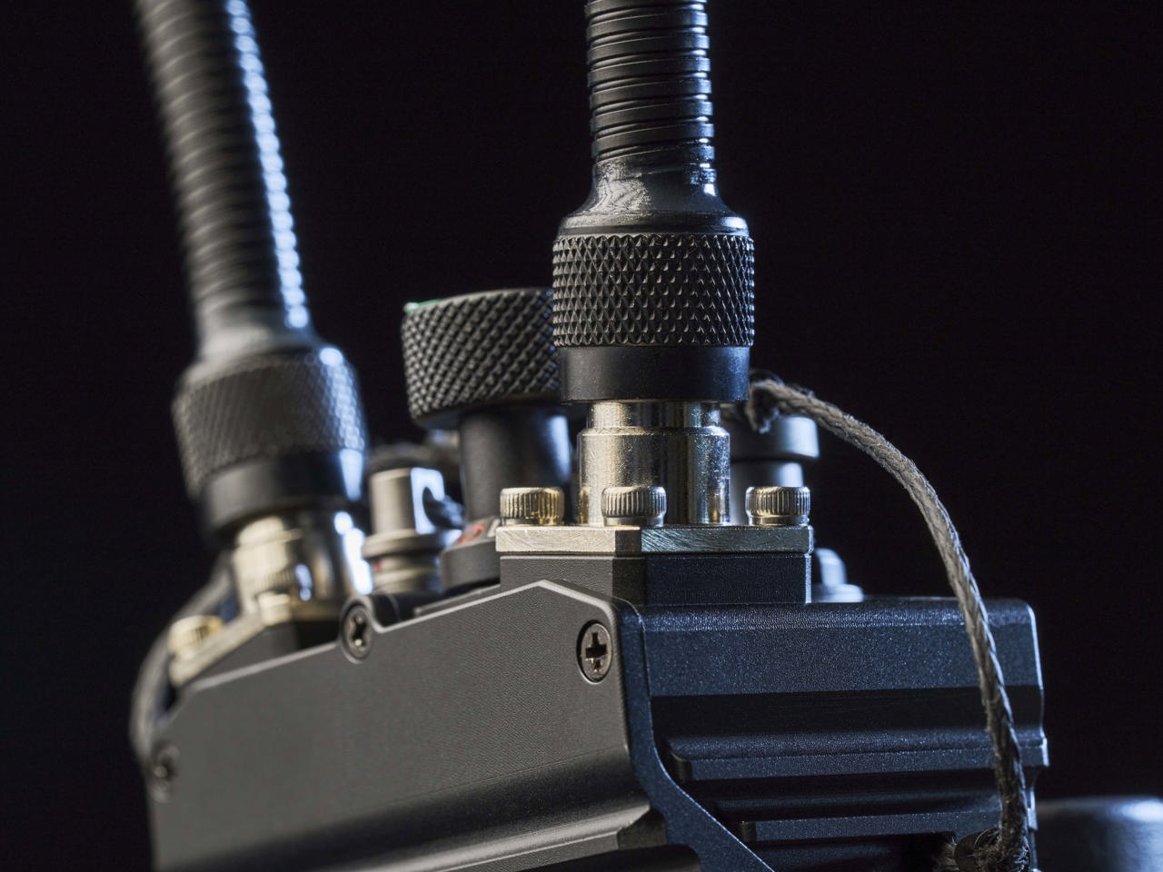
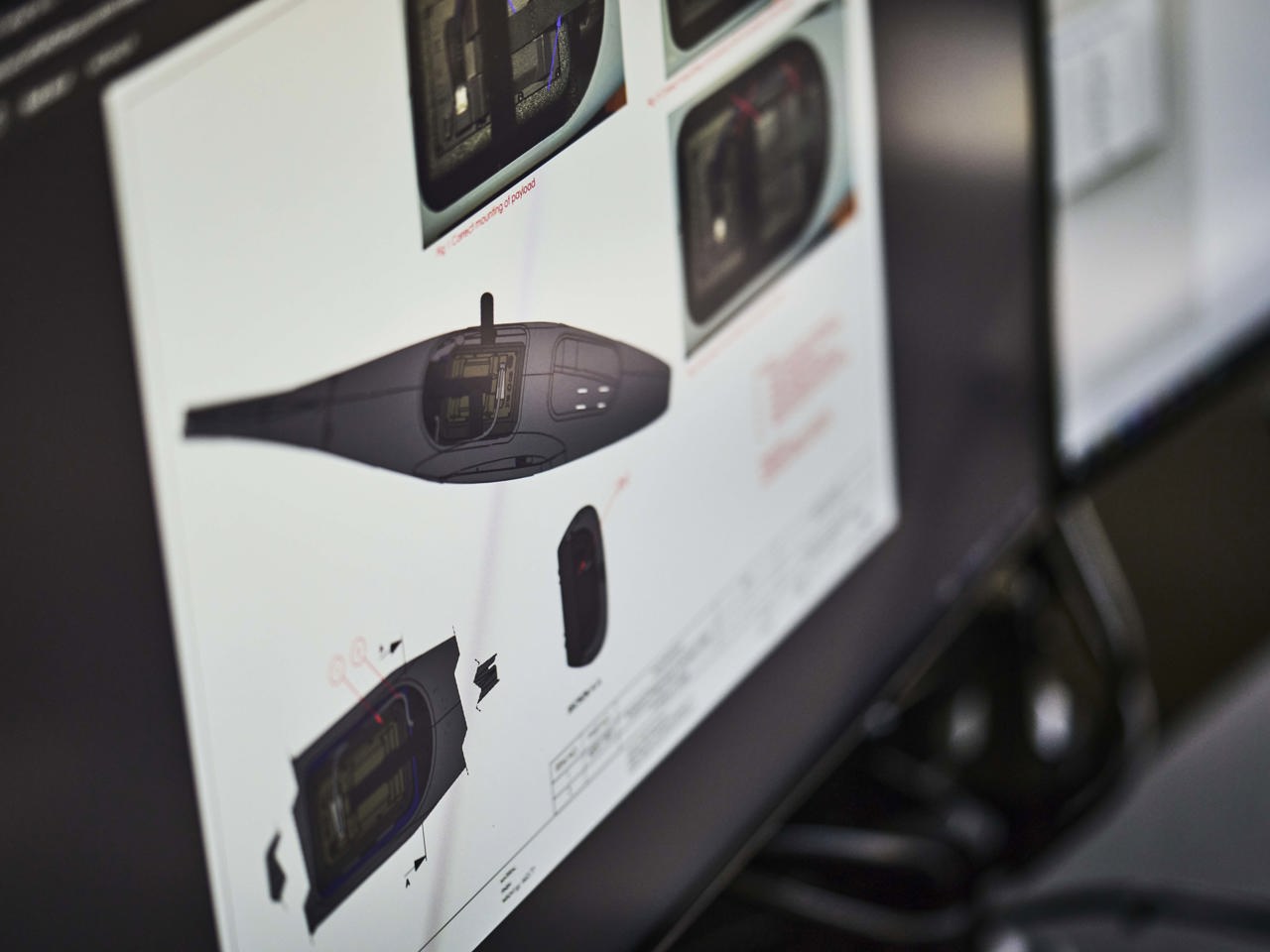
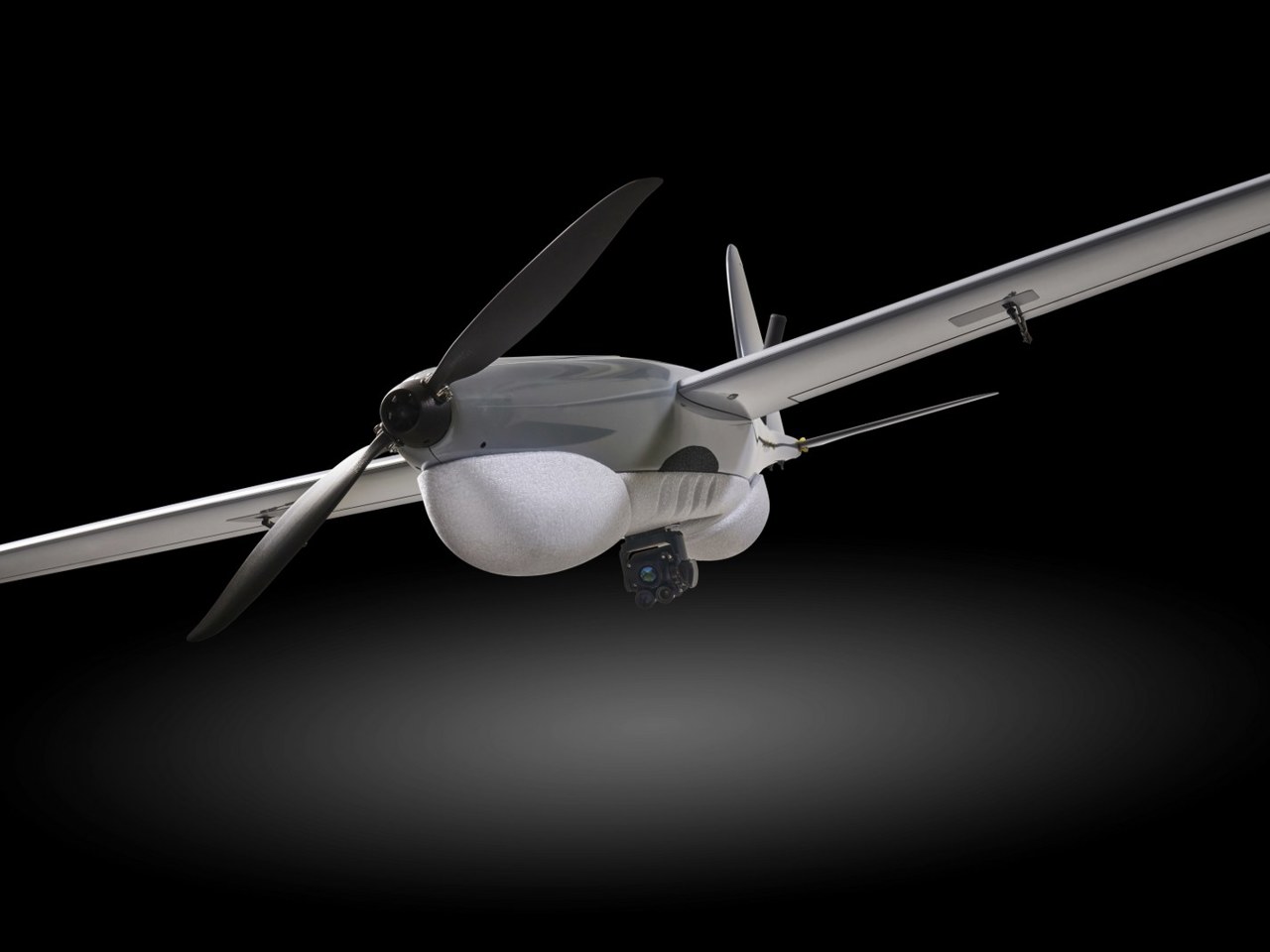
Sky-Watch is at the forefront of defense technology, specializing in fixed-wing mini-UAS systems. The RQ-35-Heidrun, is engineered for critical ISR missions, delivering unmatched resilience against electronic warfare and GPS-denied environments. Trusted by the Armed Forces of Ukraine since March 2022, the Heidrun RQ-35 is a testament to our commitment to innovation and reliability in the most demanding operational scenarios.


want to know more?
DECISIVE DRONES IN PRESENT DAY WARFARE
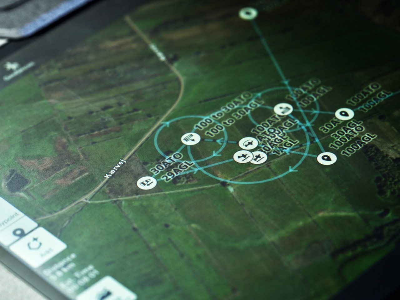
Recent and present day war and conflict have shown the importance of embracing evolving technologies like UAS of all sorts and forms since they have proven decisive in the battle space. Hesitation can lead to an asymmetricadvantage for the adversary.Hesitation can come from risk adverse behaviour in force developmentand procurement faced with fast-evolving technology but too much hesitationdeprives the force of years of lessons learned, gained experience,and doctrinal development incorporating force multipliers like UAS.
Contact Us