RQ-35 Heidrun – designed for mission success
[+]
[+]
[+]
[+]
[+]
[+]
[+]
[+]
EW Resilient with a +45 km transmission range.
Deploys and operates without access to GNSS.
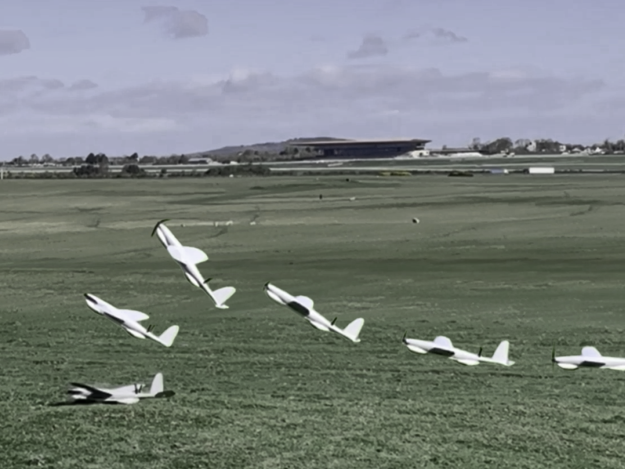
Reliable and Robust UAV platform capable of more than 500 missions!
3,05 kg. Takeoff weight.
150 min Flight Time.
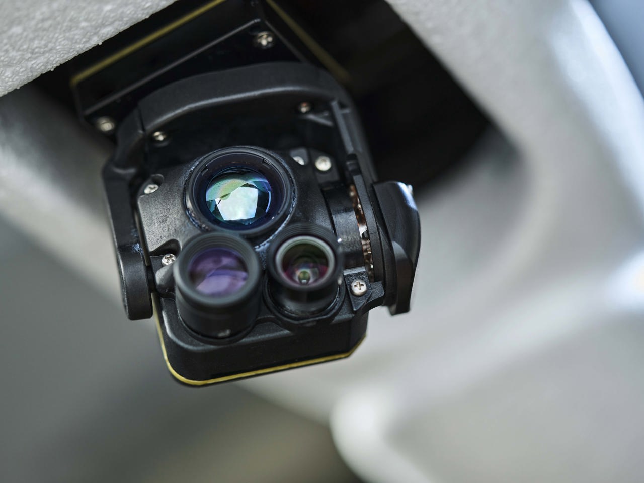
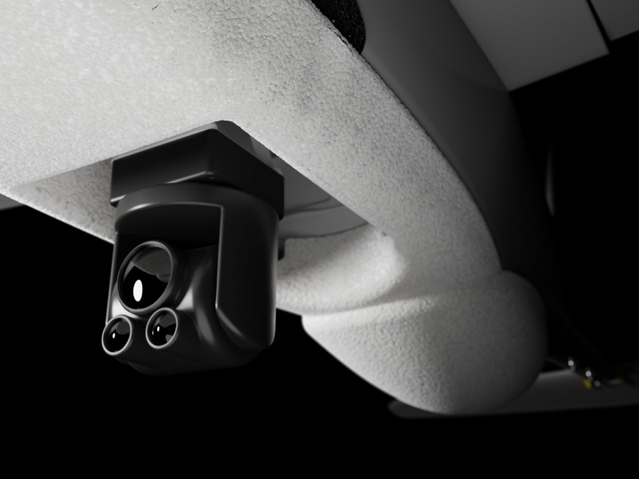
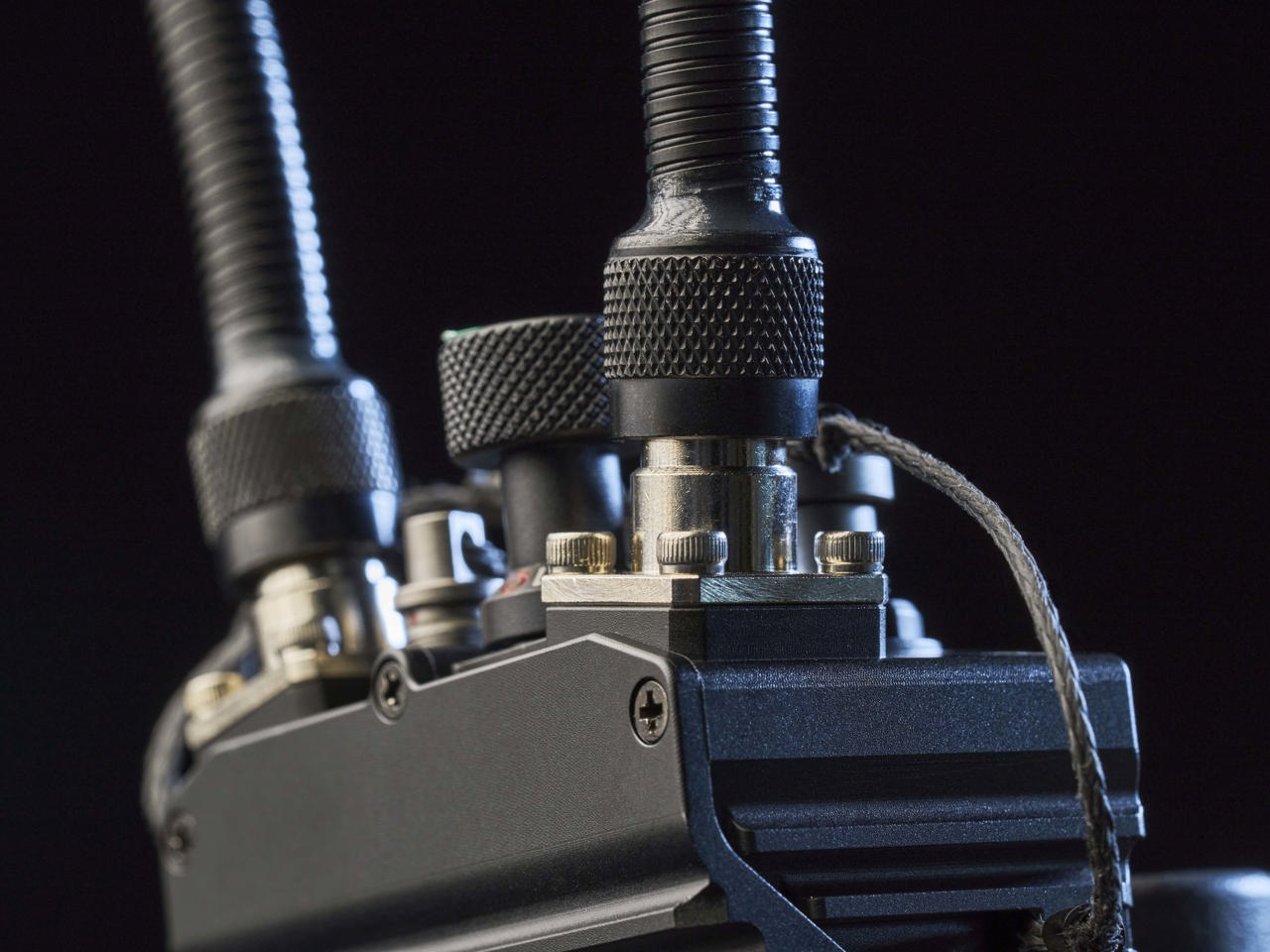
EO camera with 80x zoom.
EO/IR camare with 40x zoom (EO) and 40x zoom (IR).
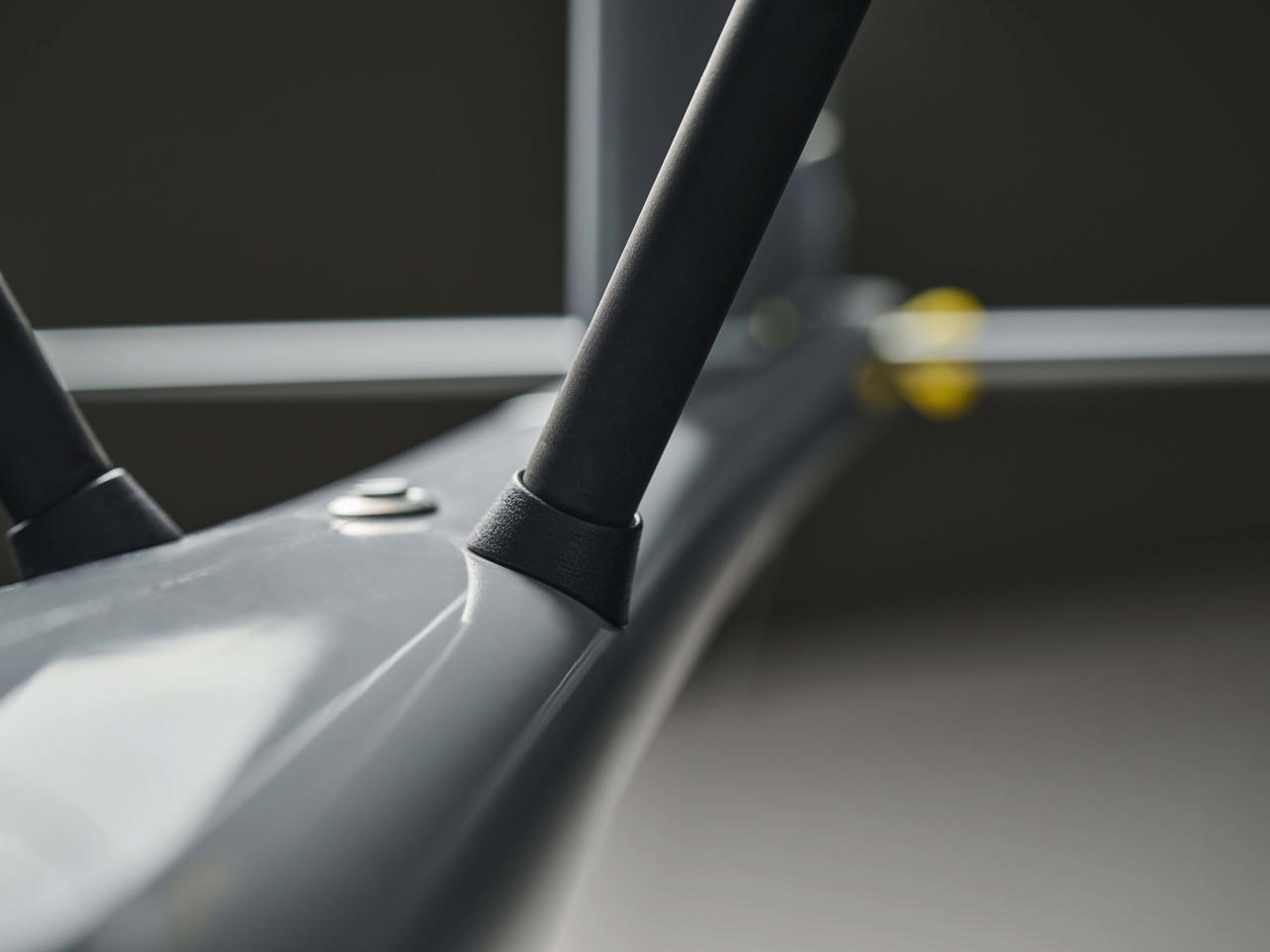
Hand launched system with deep stall landing.
BUILt TO PERFORM. UNDER ANY CIRCUMSTANCE.
We're here to advance modern combat capabilities and empower soldiers and decision-makers alike. With innovative defense technologies and best-in-class technology, we facilitate real-time data collection, enable efficient multi-domain defense and better battlefield management. Anywhere.
-
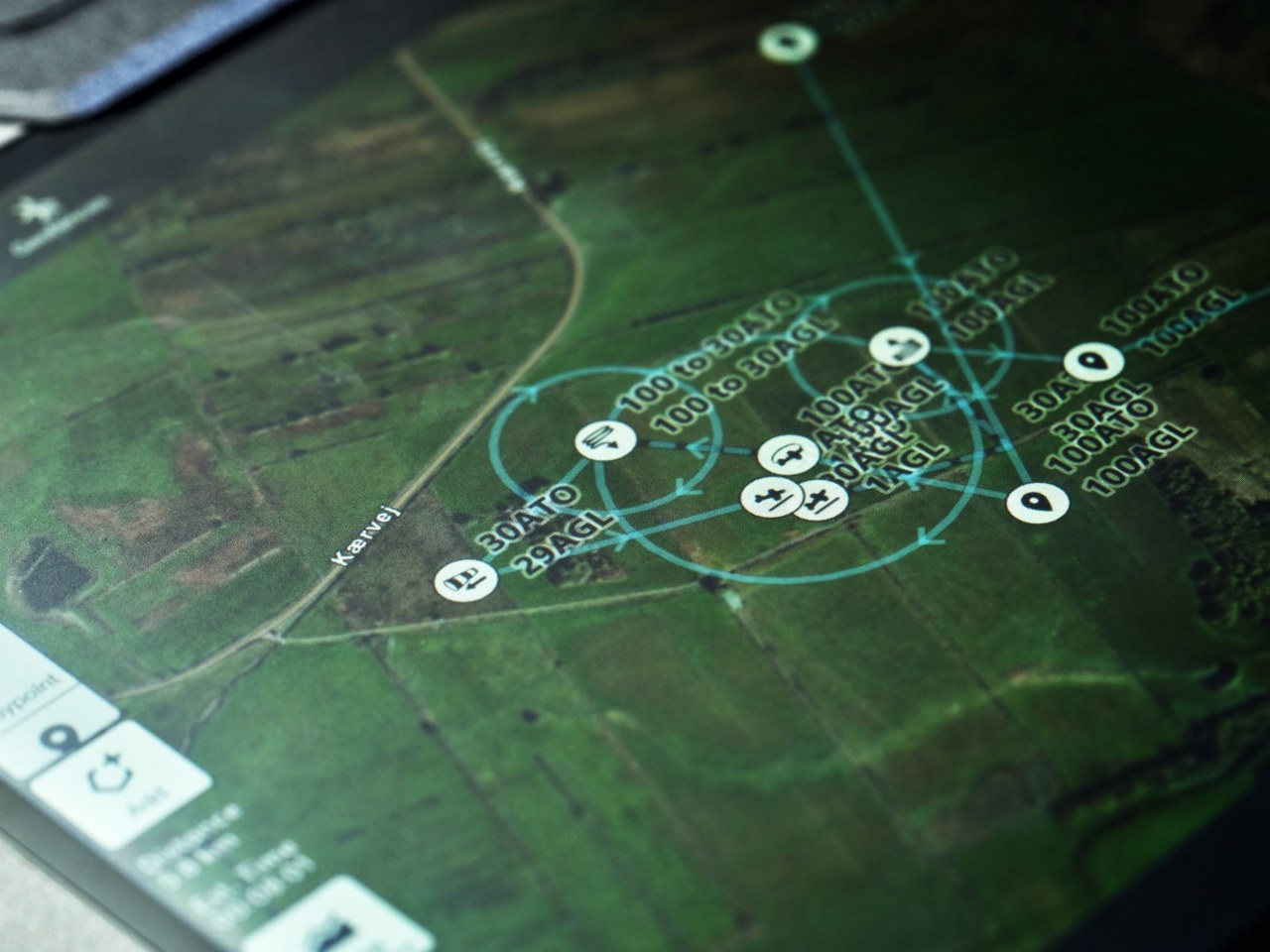
Superior performance and EW resilience
-
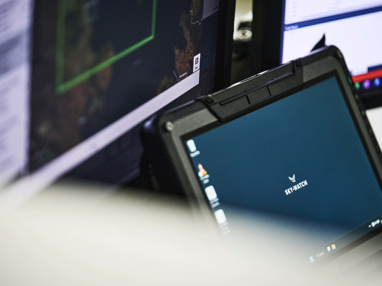
Intuitive flight control
-
Easy one-man operation
-
Unmatched flight time and range efficiency
-
Critical intelligence data and seamless integration

Do you need more information?
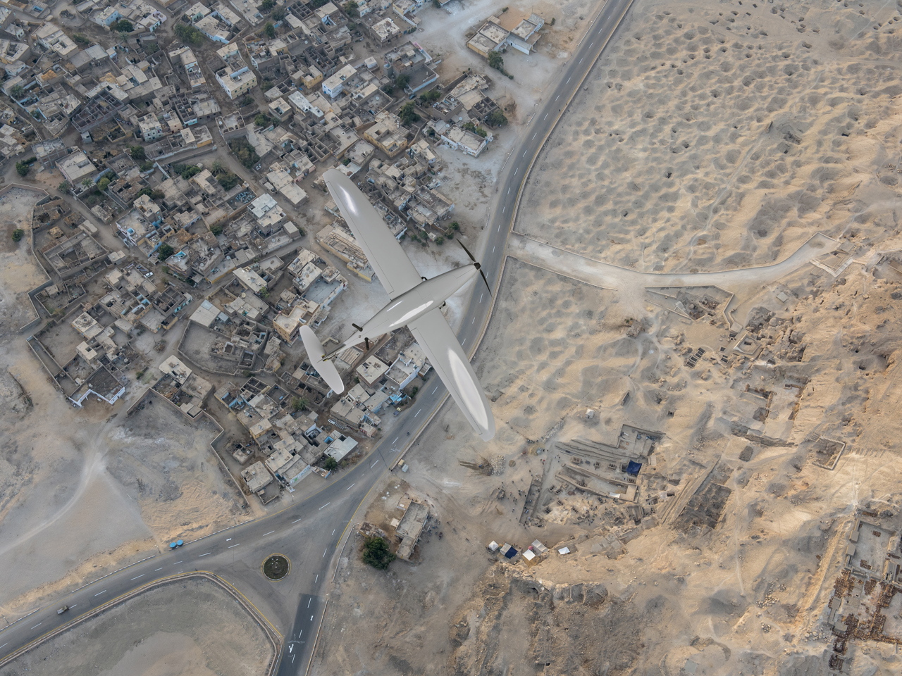
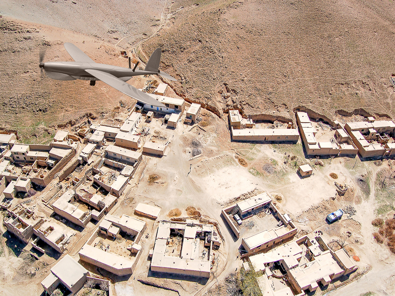
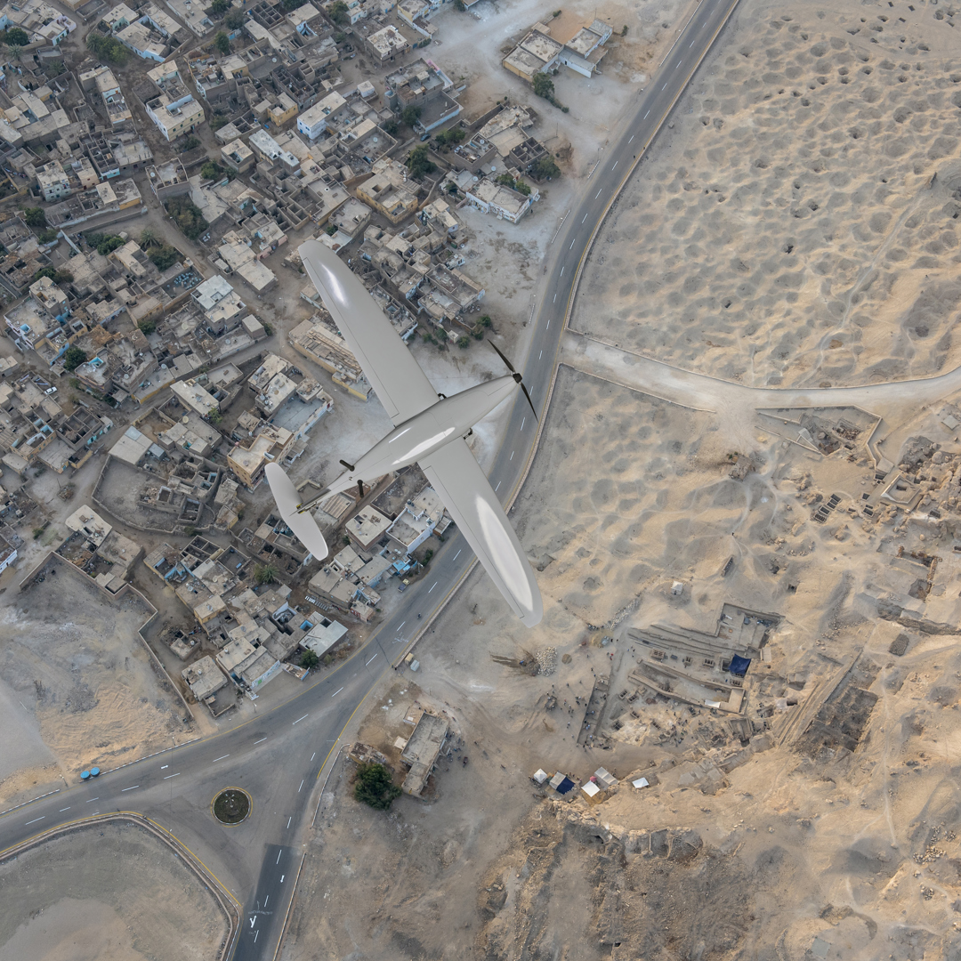
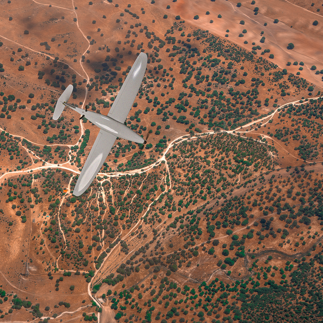
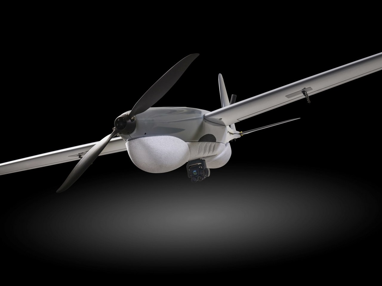
RQ-35 HEIDRUN - COMBAT PROVEN, FIXED WING, MINI UAs
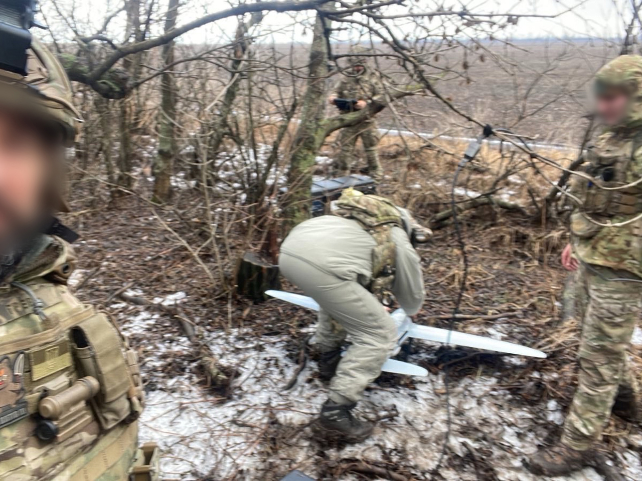
Sky-Watch is at the forefront of defense technology, specializing in fixed-wing mini-UAS systems. The RQ-35-Heidrun, is engineered for critical ISR missions, delivering unmatched reliability even in the event of electronic warfare or GPS-denied environments. Trusted by the Armed Forces of Ukraine since 2022, the RQ-35 Heidrun is a testament to our commitment to innovation and reliability in the most demanding operational scenarios.


Ensure valuable airtime with dedicated support
field Service
Our Field Service Program is your dedicated partner. With speed and efficiency, we can resolve your challenges and save critical time and effort. With a team of seasoned Field Service Engineers and Operational Specialists, we're there with you in the field, tackling practical issues and implementing solutions. From troubleshooting to upgrades, we seamlessly integrate our technology with your operations to ensure uninterrupted productivity and rapid system enhancements.
Training
Your time is valuable, and our Training Program is designed with one goal in mind – to get you up and running quickly and efficiently. Our Operational Specialists will educate and certify your drone operators and ensure they have comprehensive understanding of all aspects of your Sky-Watch UAS. Training and certification ensure that operators are fully versed in our products. Our training program includes safety guidance, as well as instruction in the operation and maintenance of your drones.
Contact Us